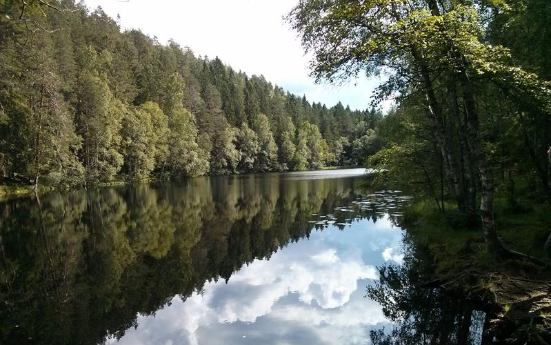
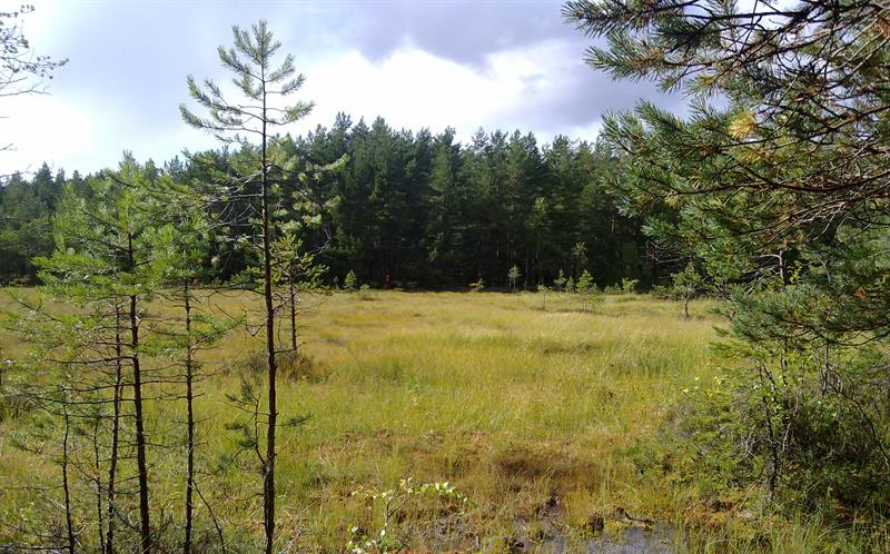
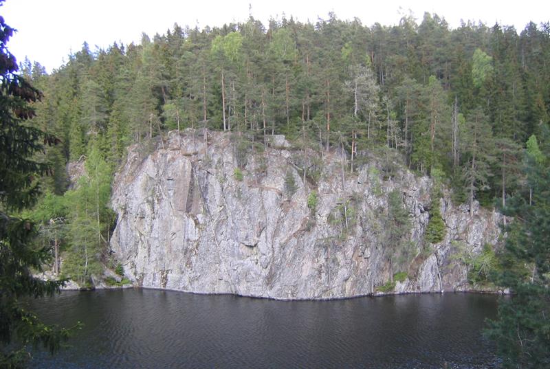
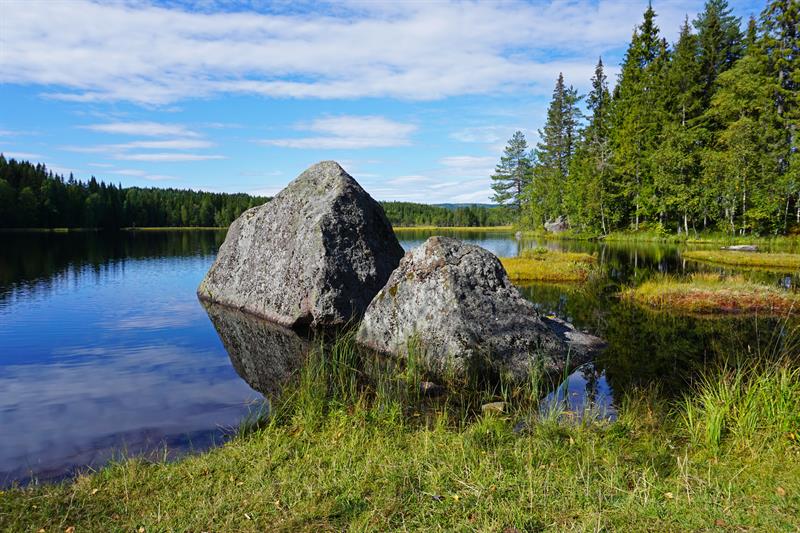
The forest region in eastern Oslo covers 256 square kilometres and is different from the other forests around Oslo, mainly because of bedrock formations created 200-1,500 million years ago. The vegetation is quite open, with mostly pine forest.
Recreation
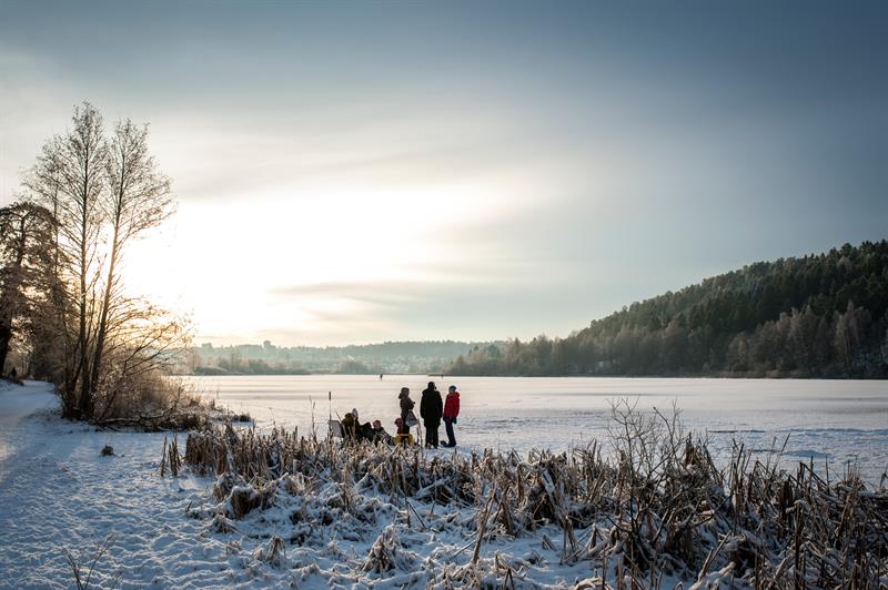
During the winter there are prepared, red-marked ski trails, and some of them are illuminated in evenings. In the summer you will find blue-marked tracks for hiking, as well as biking routes and idyllic swimming spots. The routes in Østmarka are usually well-marked, but a map is recommended for longer distances.
Accommodation and cafés
It is also possible to stay for a night or have a break at one of the many charming cabins. The associations DNT Oslo og Omegn, Skiforeningen and Bymiljøetaten (The Municipality of Oslo) have several staffed and unstaffed huts in Østmarka.