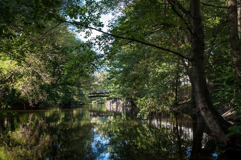
Big forest region in northern Oslo with ample outdoor recreation opportunities all year round.
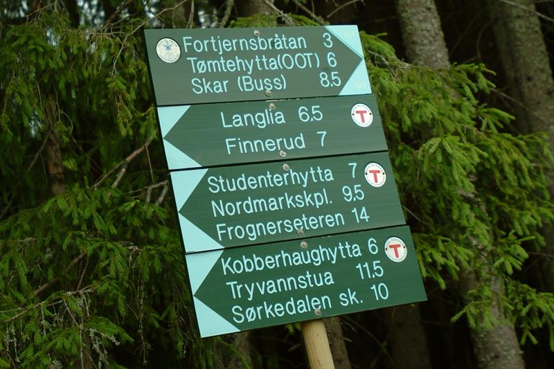
The routes in Nordmarka are usually well-marked, but a map is recommended for longer distances.
Winter activities
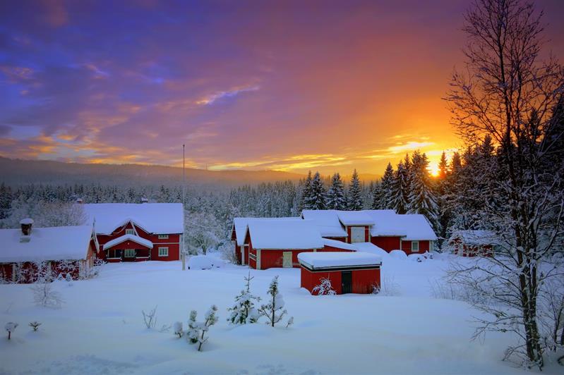
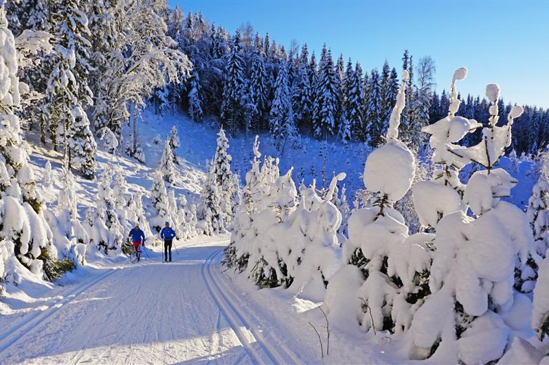
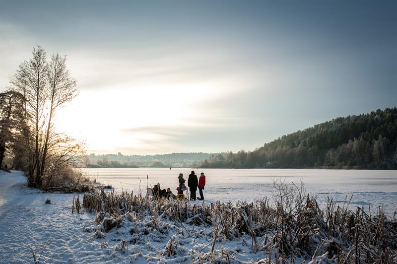
In winter there are more than 450 km of prepared, red-marked ski trails in Nordmarka, and some of them are illuminated in evenings.
Summer activities
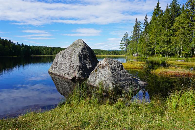
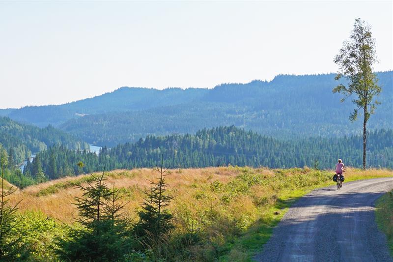
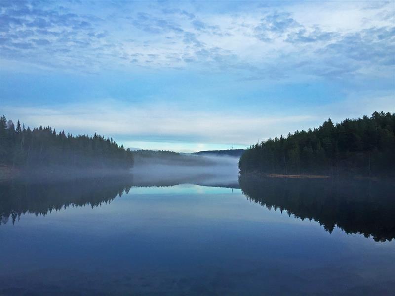
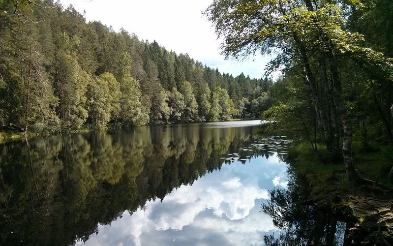
In the summer you can find nice, blue-marked tracks for hiking, biking routes and idyllic lakes for swimming.
Cabins
Several of the cabins in Nordmarka are open to the public, either to take a break, enjoy a meal or spend the night. Most of them are owned and operated by the associations DNT Oslo og Omegn, Skiforeningen and Bymiljøetaten (the Municipality of Oslo).
Facts about Nordmarka
Area: 430 square kilometres
Highest peak in Oslo: Kirkeberget, 629 metres above sea level
Highest peak in Nordmarka: Svarttjernshøgda, 719 metres above sea level (located in Viken County)